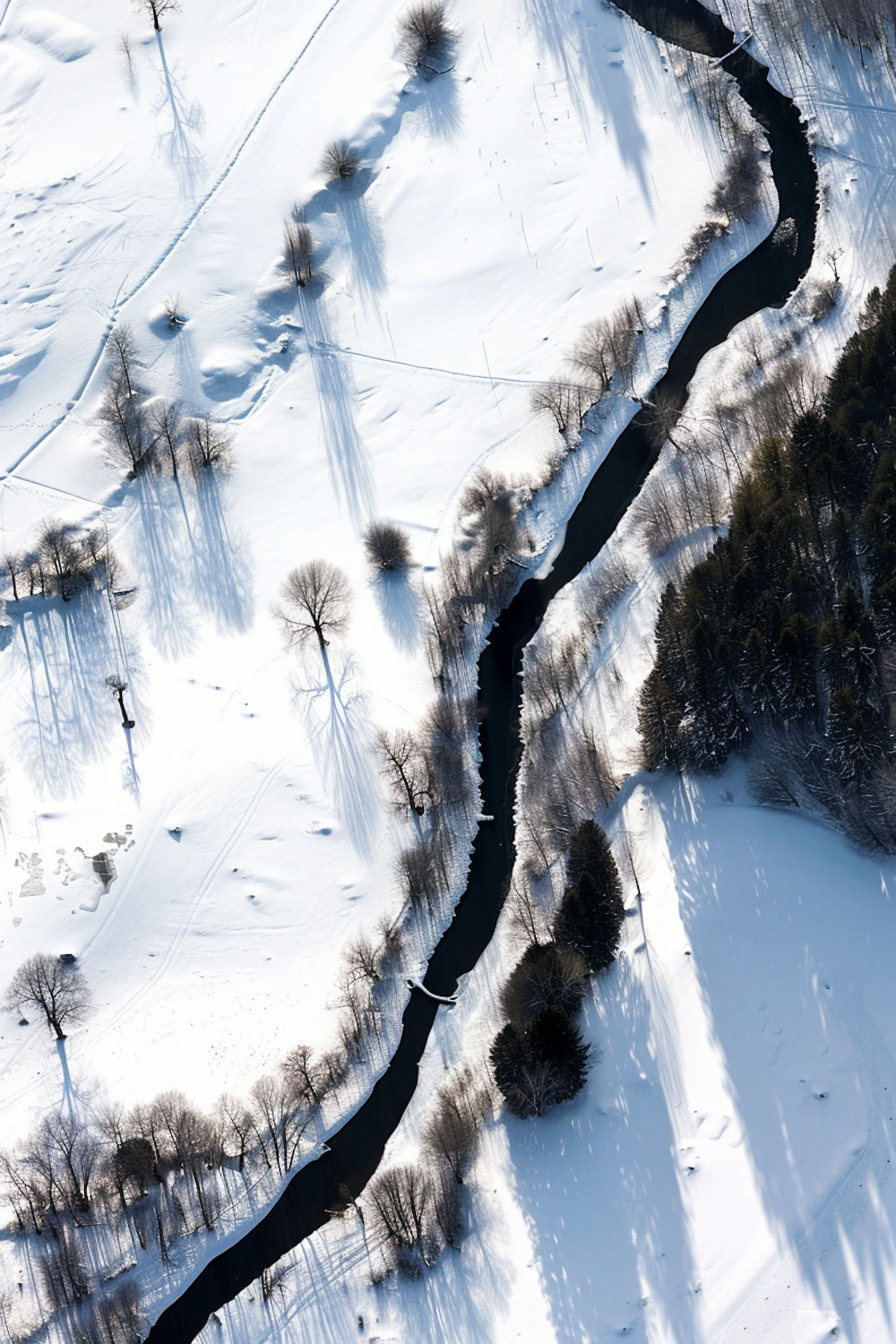
Chapter 01
Environment
Freshwater Systems & Catchment Flux
Multi-decadal tracking of thermal regime shifts, active-layer thaw, and solute transport across subarctic braided river networks.
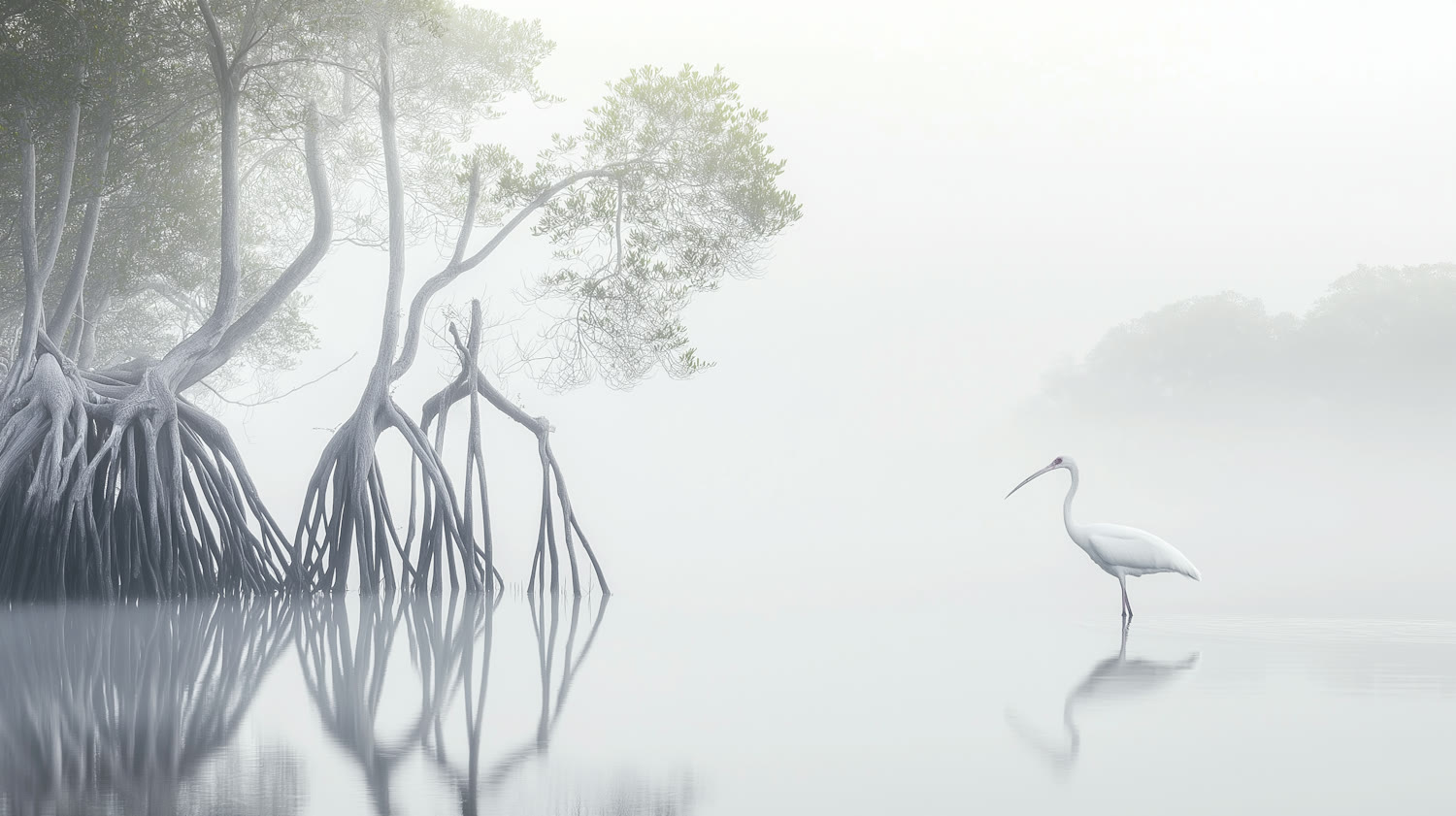
Centre for Interdisciplinary Research in Ecology & Environment
CIREE works across ecology, environment and field research, connects knowledge between disciplines, and shares what it learns through outreach and public engagement.
CIREE is a centre for interdisciplinary research in ecology and environment. The work begins in the field, moves across disciplines, and returns what it learns to the people and places it concerns.
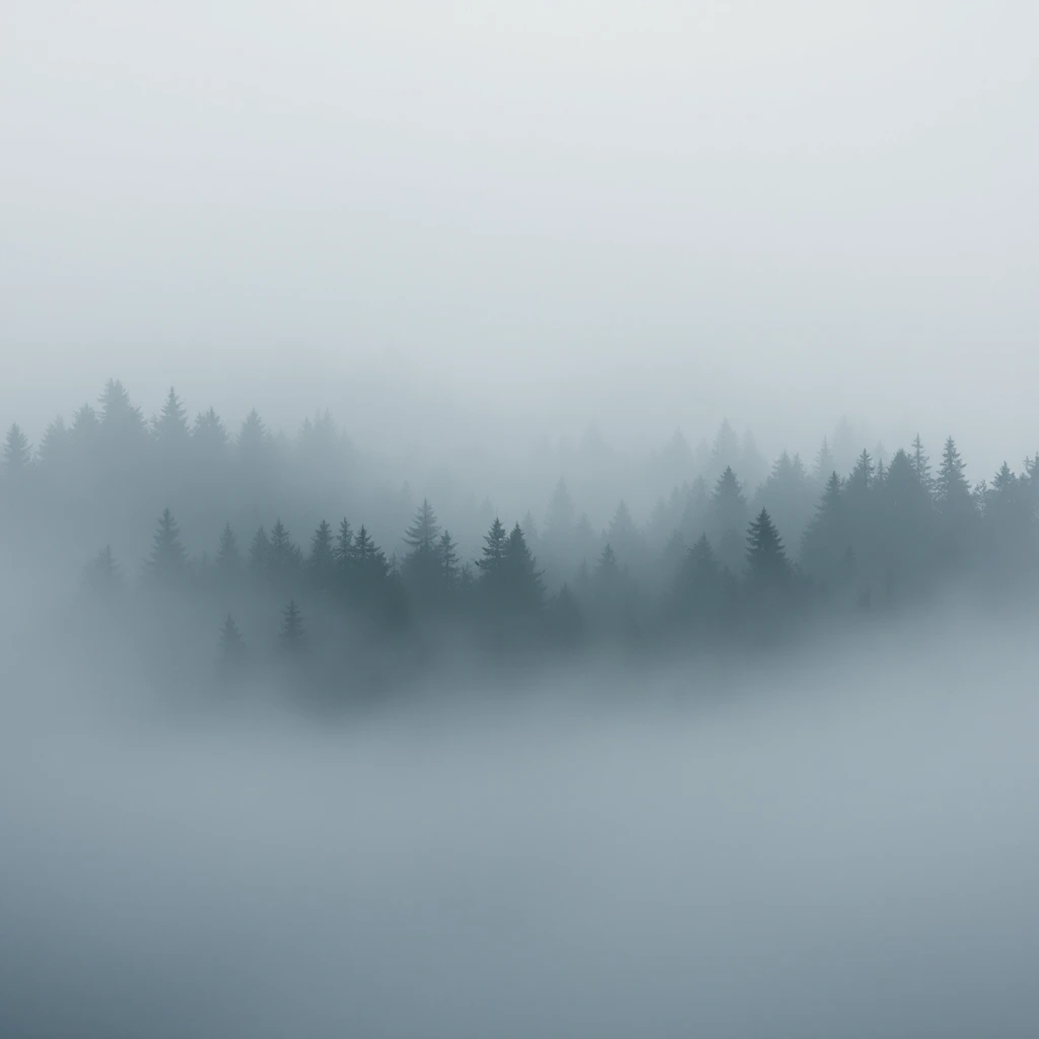
Fig. 01 / Laurentian Highlands — Mixed conifer canopy emerging through radiation fog at 1,140m elevation.
Areas of work
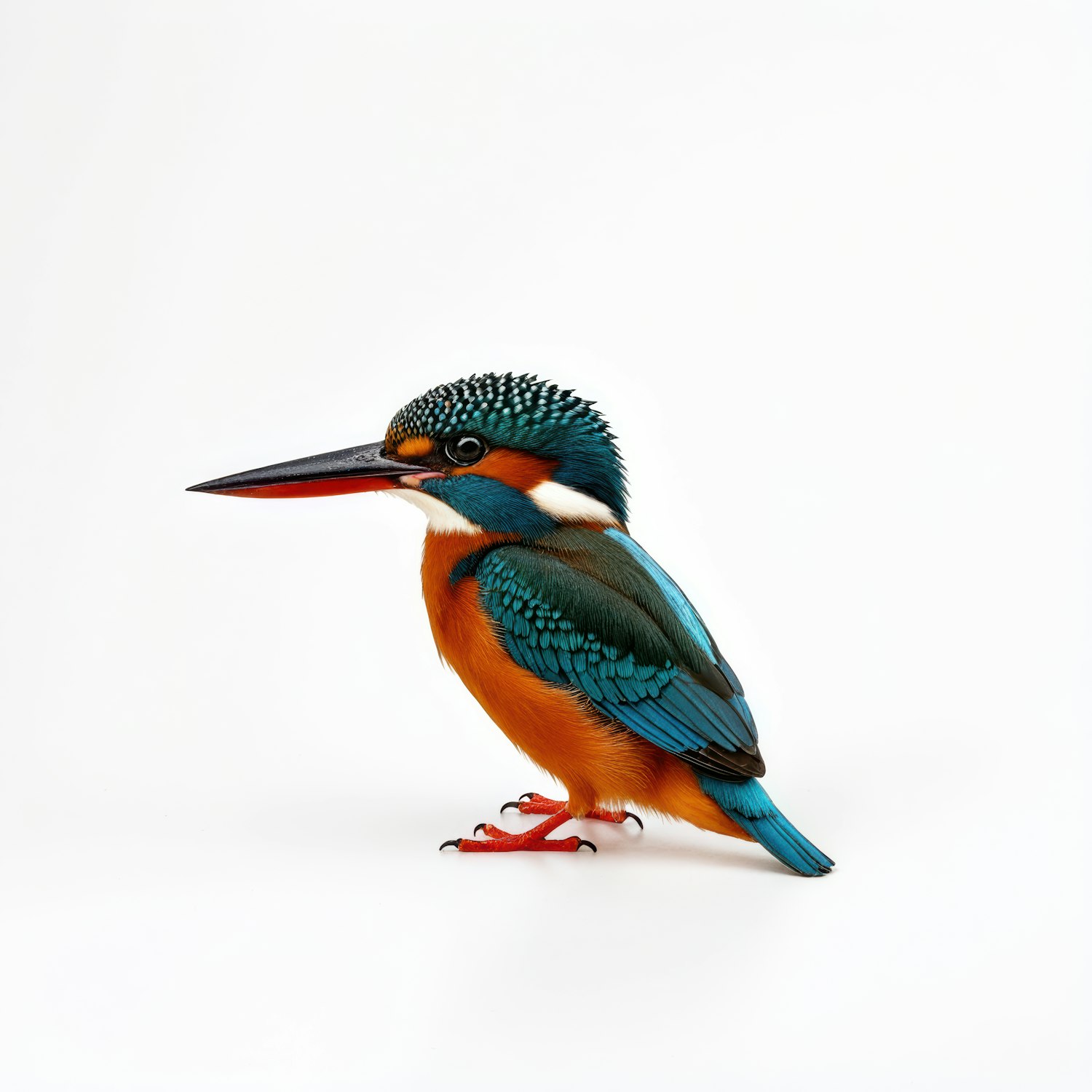
Scale I / Individual & Bio-Indicator
Ecological inquiry begins at the organismal scale: measuring plumage spectral reflectance, physiological indicators, and chemical signatures of riverine bioaccumulation up close.
Scale II / Topographic & Drainage Dynamics
Expanding outward, individual observations situate within the dendritic hydrological catchment—tracking snowpack melt pulses, sediment flux, and thermal transitions across 340 km of braided river reaches.
Scale III / Cross-Thematic Synthesis
CIREE bridges catchment observations across forest canopies, coastal blue carbon sinks, and rural agro-ecological regimes—translating empirical field data into predictive environmental models.
Research themes
Each theme is a way into the work. Follow one to find its projects, people, publications and field media.
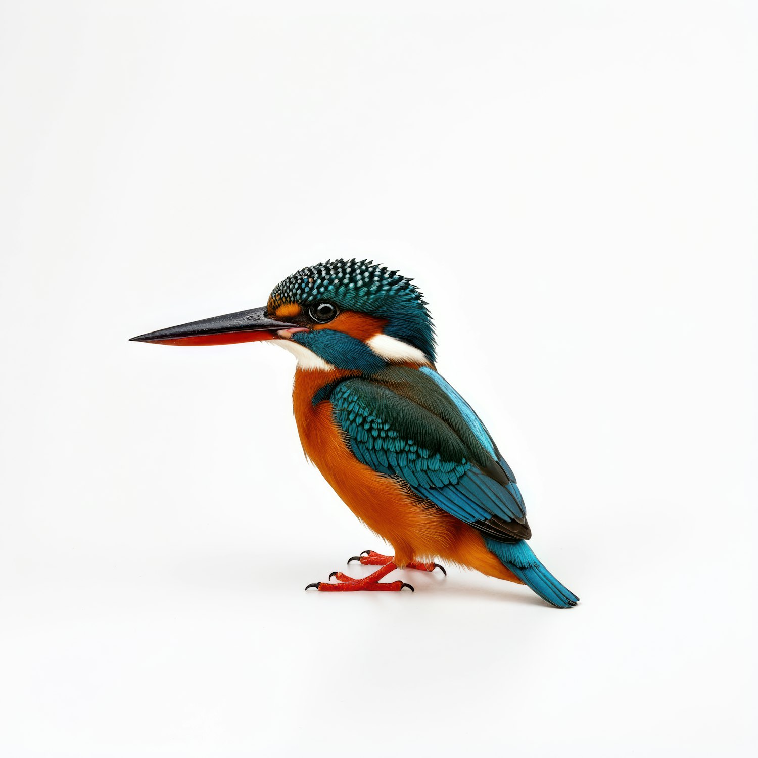 Species, habitats and the relationships that hold living systems together.
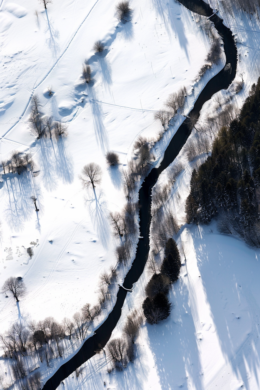 Water, soil, air and climate, read as one connected system.
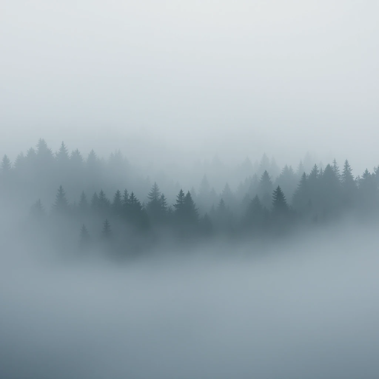 Patient observation in the places where change actually happens.
 Questions too large for any single discipline.
 Research shared openly with the people it concerns.
Research chapters
Every project opens like a field journal: the question, the place, the methods, the people and what was found.
Environment
Multi-decadal tracking of thermal regime shifts, active-layer thaw, and solute transport across subarctic braided river networks.
Ecology
High-density microclimate sensor networks measuring thermal buffering and drought resilience across mature boreal-temperate transition zones.
Field Research
Quantifying vertical sediment accretion, tidal pulse mechanics, and long-term organic carbon sequestration in macro-tidal saltmarsh ecosystems.
Interdisciplinary Knowledge
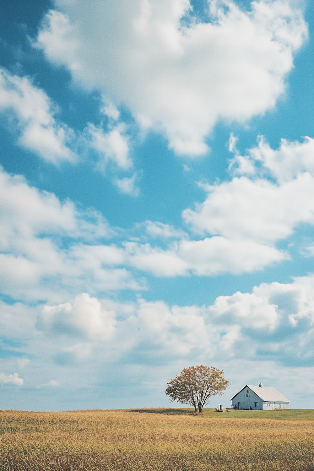
Evaluating soil moisture retention, perennial root architecture, and microbial resilience under adaptive multi-paddock grazing regimes.
From the field
Photographs and footage from fieldwork, sampling and public events. Videos play right here.
Open the media archiveSelected knowledge
Search the full register by author, theme, year or type, with citations, DOIs and downloads where supplied.
Search all publicationsOpportunities and events
Open roles, internships, calls and events for researchers, students, applicants and collaborators.
All opportunities and events